
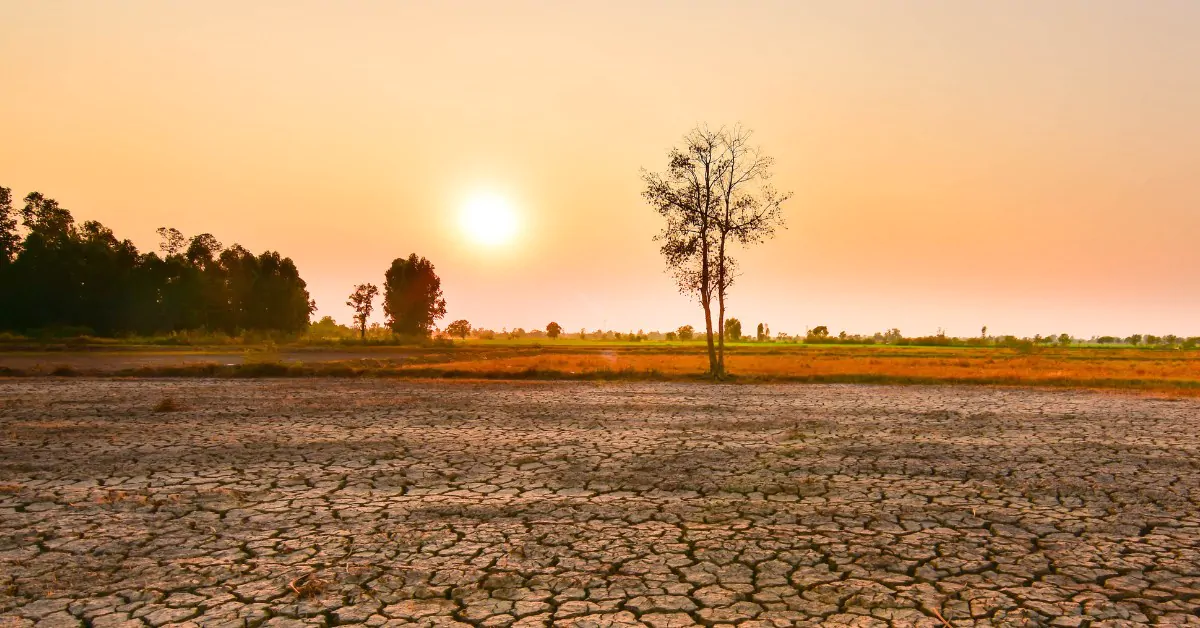
But behind the spectacular expression of “super El Niño,” science is sketching a scenario more complex than a simple sequence of disasters.
El Niño: a climate phenomenon that abruptly scales up
On August 13, 2026, the Climate Prediction Center of the U.S. National Oceanic and Atmospheric Administration (NOAA) sharply raised the alert level. The agency now estimates more than a 90% probability that El Niño will reach a “very strong” intensity during autumn and winter 2026-2027 in the Northern Hemisphere. Most notably, the scenario of a historic episode, surpassing all previous events tracked since 1950, stands at 69% for October through December. The climatic phenomenon, which emerged in June, has probably not yet reached its maximum.
This intensification comes on a planet that is already extraordinarily warm. In July 2026, extrapolar ocean surface temperatures averaged 20.96°C, a record for the month according to the Copernicus Climate Change Service. Globally, July 2026 registered an anomaly of +1.47°C above the preindustrial baseline. El Niño does not fully explain these records, but it now adds its own push to the underlying warming.
The mechanism is well understood. In normal conditions, trade winds push the warm surface waters of the tropical Pacific toward the west, toward Asia. When these winds weaken, this vast heat reservoir shifts toward the center and east of the ocean. Upwelling of cold waters near South America diminishes. The surface heat increases, zones of heavy rainfall move, and large-scale atmospheric circulation reorganizes. Inch by inch, this flip can alter weather well beyond the Pacific.
July 2026 observations show just how vigorous the current episode already is. According to NOAA, the anomaly reached +1.4°C in the Niño 3.4 region, one of the main zones used to monitor El Niño, and +2.9°C in the Niño 1+2 region further east. Beneath the surface, pockets of water showed anomalies up to +10°C. The heat is thus not only visible at the surface: a substantial energy reserve has settled in the upper layers of the Pacific.
That is what fuels the talk of a “super El Niño” or an “historic El Niño.” Yet these labels must be used with caution. NOAA uses quantitative indices and estimates a 69% probability that the RONI, an index corrected for the overall warming of the tropics, will reach at least +2.5°C over a three-month window from October to December. Carbon Brief arrives at an even more striking result with a different method: its analysis of projections from 14 modeling groups shows that 96% of simulations deem the current episode the most intense in the modern observational record. The previous peak cited by media, during the 2015-2016 episode, was +2.75°C in the Niño 3.4 region.
Other models go even further. A Berkeley Earth projection places the median anomaly around 3.6°C in Niño 3.4. This value should not be confused with NOAA’s threshold because methods and baselines differ. It nonetheless underscores the unusually large warming being anticipated.
An Overheated Ocean, a Global Climate Under Strain
El Niño acts as a heat redistribution mechanism for the ocean. When the warm waters push eastward, more energy can be transferred to the atmosphere. Carbon Brief notes that on average, a 1°C variation in Niño 3.4 is associated with about a 0.1°C variation in global temperature, typically with several months of lag. That does not let us directly forecast 2027’s temperature, but it explains why the years following a powerful El Niño are especially closely watched.
The backdrop is already extraordinary. Copernicus ranked July 2026 as the second-warmest July on record globally, tied with July 2024. In extrapolar waters, the average surface temperature of 20.96°C surpassed the previous July record set in 2023 at 20.89°C. The tropical Pacific waters are among the regions where anomalies have been particularly elevated. NOAA also estimates a 99.9% probability that 2026 will finish among the five warmest years on record.
In the United States, July was already the warmest month on record in national series, averaging close to 25°C, about 1.8°C above the 20th-century average. This record cannot be attributed solely to El Niño. Human-caused climate change remains the primary driver of long-term warming, while the Pacific phenomenon acts as a natural oscillation capable of temporarily amplifying global warmth.
This combination helps explain part of the concern. El Niño does not occur in today’s climate as it did during major events in 1982-1983, 1997-1998, or even 2015-2016. It unfolds on top of oceans that are globally warmer. The 1997 and 2015 events had already raised sea levels by more than 18 centimeters above the average in some affected Pacific areas. With more heat and moisture available in the current climate system, extrapolating the consequences of a similar event from the past would be inappropriate.
El Niño: the climate risks are redistributed around the globe
The first trap would be to imagine the same weather everywhere. El Niño shifts risks. In Indonesia, in parts of Australia, India, and the Amazon basin, the phenomenon is usually associated with drier conditions, likely to foster droughts and wildfires. Conversely, southern South America, parts of eastern Africa, and portions of the southern United States see a higher probability of heavy rainfall.
Yet even with a record El Niño, a very wet winter is not guaranteed. Michelle L’Heureux, a scientist at the Climate Prediction Center, stresses this nuance: the likelihood of typical impacts rises with the episode’s intensity, but seasonal forecasts remain probabilistic. ABC News notes that the current event, as of this time of year, is the second-most intense on record behind 1997.
The tropics themselves are also expected to change. In the Atlantic, El Niño generally increases the vertical wind shear, an environment unfavorable to hurricane formation and intensification. NOAA has therefore lowered its outlook for the Atlantic season, with a maximum of 13 storms. In the Eastern Pacific, the situation is almost the opposite: the activity could be fostered and the forecast ceiling rises to 22 cyclones. In other words, a calmer season in one basin does not imply a lower overall risk.
In Asia, the eastward shift of warm waters and convection also alters potential typhoon tracks. Carbon Brief notes that the Philippines may become less directly exposed to certain tracks, while risks could migrate toward China, Japan, or South Korea. Meanwhile, Indonesia faces higher risk of water scarcity and wildfires. In Southern Africa, drought looms as a major threat, while some parts of the eastern continent could see the opposite, with excessive rainfall. The risk map thus becomes a patchwork of droughts, extreme rainfall, heat, and agricultural disruption.
Agriculture, Fires and Resources: the Episode’s Reach Could Extend into 2027
That is where the duration could become most visible: in agriculture. Vietnam and Indonesia together account for about 50% of the world’s robusta coffee production. El Niño typically brings heat and rainfall deficits during key crop-development phases. “The drought in Vietnam and Indonesia could significantly reduce robusta yields,” Citi analysts warn.
Cocoa is another vulnerable point. All strong El Niño events in the last 55 years have been linked to lower cocoa production. And the risk is not only drought. Excess rainfall can first promote certain diseases, before heat and water shortages later hinder flowering. India and Thailand, big sugar producers, are also sensitive to a weakening monsoon. In India, monsoon rainfall for 2026 is expected to be around 90% of normal.
Beyond agricultural markets, the humanitarian question becomes acute. Reuters reports a World Food Programme estimate that nearly 49 million additional people could fall into acute food insecurity by the end of 2027 if El Niño shocks hit already fragile regions. The threat arises less from a single meteorological event than from a chain of events: rainfall deficits, crop failures, livestock losses, income declines, rising prices, and added pressure on populations already exposed to conflict or economic instability.
Marine ecosystems are also affected. When cold-water upwelling off South America weakens, phytoplankton and marine food chains can be disrupted. Fish sought by commercial fleets move or dive deeper. On land, water shortages raise fire danger in Indonesia and parts of the Amazon, while excessive rainfall can damage soils, roads, crops, and infrastructure in other regions.
The calendar also explains why eyes are already on 2027. According to NOAA projections, impacts should peak between November and January, but the most pronounced effects could continue into spring 2027. The Japanese Meteorological Agency puts the probability of El Niño persisting through boreal winter and early 2027 at 100%. Even as Pacific temperatures begin to decline, some agricultural, hydrological, and food-related consequences could persist for months.
Climate: the planet now warms twice as fast
By analyzing decades of climate data, researchers show that the planet is warming at an unprecedented pace, bringing the world dangerously close to the 1.5°C threshold set by the Paris Agreement…